
價格:免費
更新日期:2018-11-06
檔案大小:30.4 MB
目前版本:1.3
版本需求:需要 iOS 10.2 或以上版本。與 iPhone、iPad 及 iPod touch 相容。
支援語言:英語

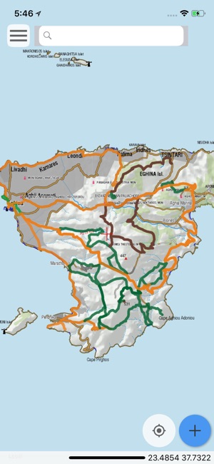
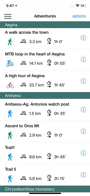
Aegina Hiking is a digital field guide for hiking and touring Aegina Island.
It includes routes, descriptions and photos for 13 hiking trails, 3 bike routes and 2 car tours. Each trail has a detailed description, a statistic analysis and a POIs list.

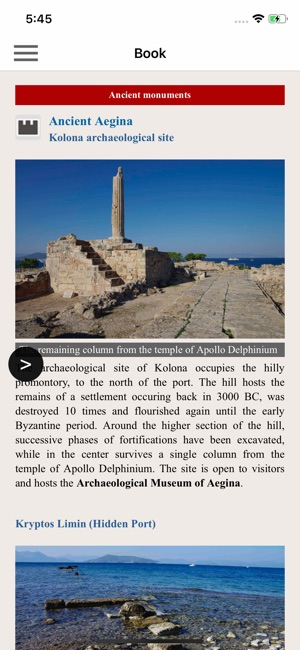
Aegina is famous for its ancient monuments, the peculiar volcanic landscape and the well preserved neoclassical buildings.
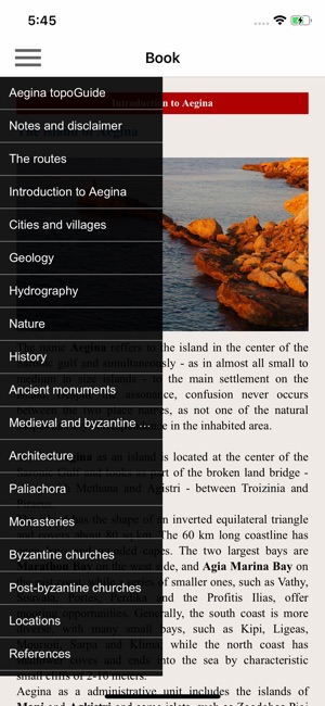
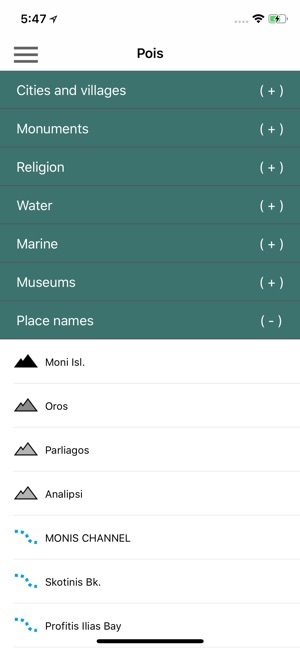
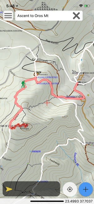
The application offers detailed offline maps and an extensive introduction on geography, geology, the most important settlements and monuments, and the nature of Aegina Island. The app also offers a list of useful POIs (most island's accommodations are included) with a search feature on the map screen.
In the field, the app identifies the nearest adventure, guides you to it and then along it by displaying messages and warnings on every junction or other important location. On each Point of Interest, photos and texts are displayed on the map. If the hiker gets off-trail, the app indicates the shorter way to get back safely.
Also, a navigation feature allows to calculate routes and distances along roads and paths anywhere on the island.
The cartographic company AnaDigit, creator of the application, has issued hundreds of hiking maps for Greece (eg. maps of Kalymnos, Santorini, Crete, Mt. Olympus, Zagori, Sifnos, Naxos and other Aegean islands). AnaDigit was the hiking expert involved in the planning and the implementation of the recently waymarked hiking network.
支援平台:iPhone, iPad